Oct. 29, 2026 · 6 min read
Inside the viaduct open house, and how to still weigh in
I stopped by Tuesday's open house on the 10th and 11th Street viaducts. If you missed it, you didn't miss anything new. Here's what it was like, what people wrote on the maps, and how to comment before Nov. 10.
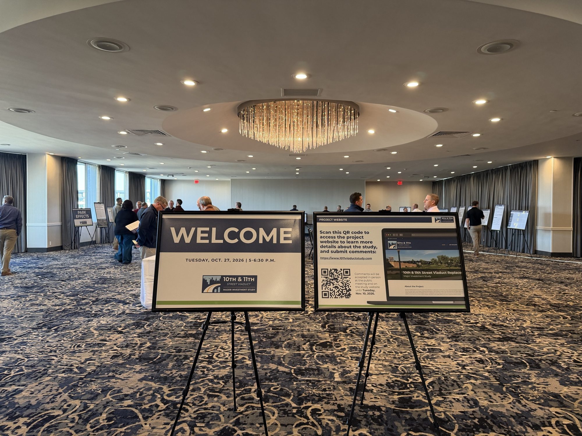
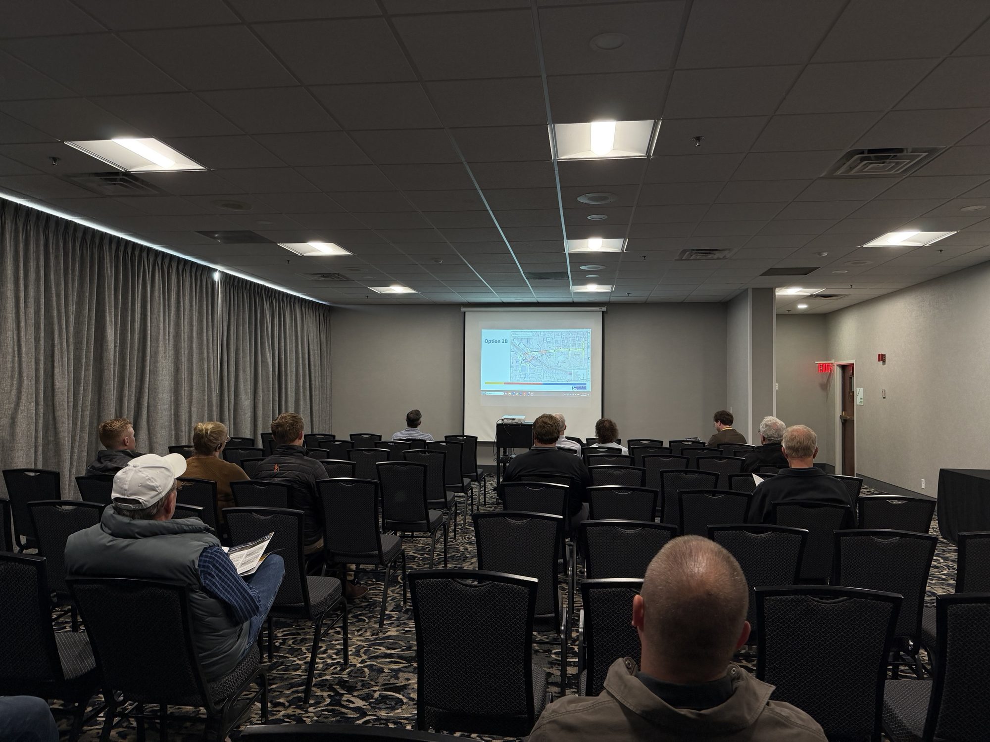
On Tuesday evening, I stopped by the open house on the 10th and 11th Street viaducts at the Holiday Inn City Centre.
If you couldn't make it, here's the good news: you didn't miss anything new. The boards, maps and video were the same ones already on the study website. There was no presentation and no back-and-forth with the crowd. It felt a lot like the open house for The Quarry: a room full of plans, and a quiet ask for your thoughts.
So this is a short recap of what it was like, and a reminder that you can still have your say until Nov. 10.
What it was like
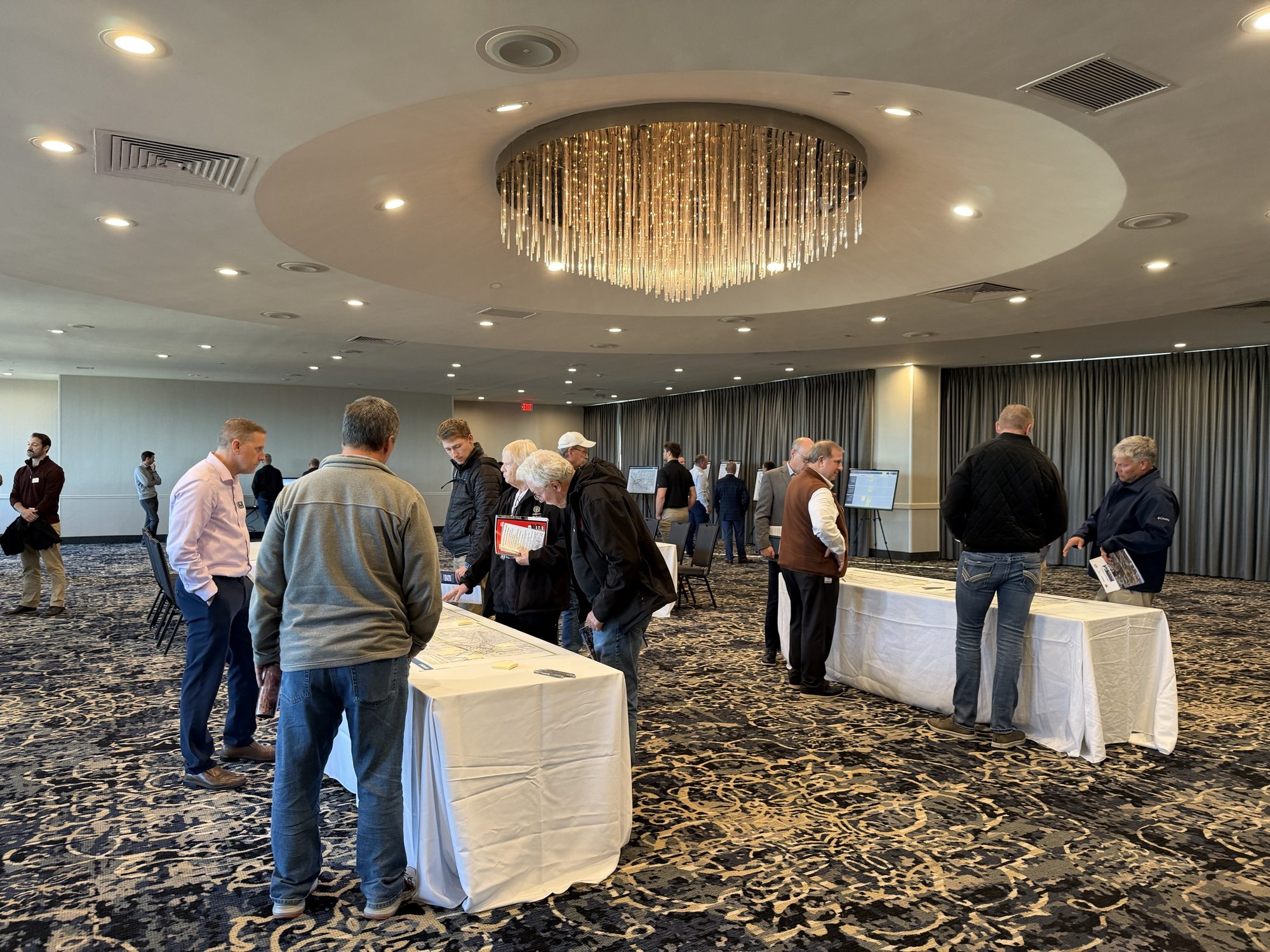
It was a drop-in open house. People came and went for the full hour and a half. A last-minute sign in the lobby moved everyone up to the 10th floor, which came with a great view of downtown.
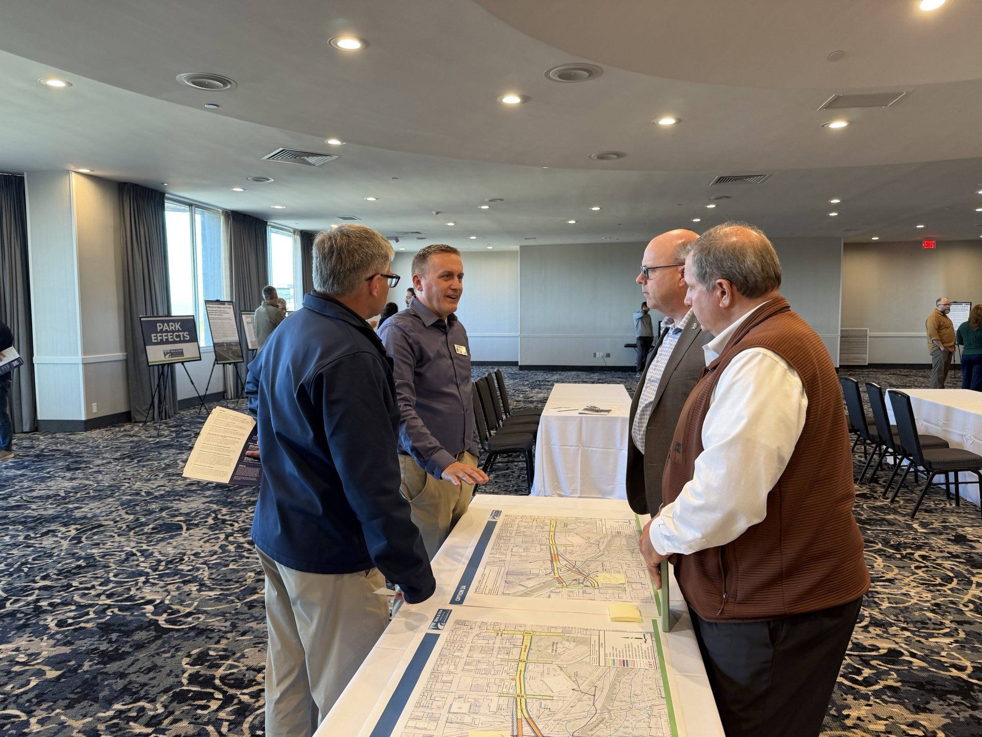
The ballroom was lined with boards on the project's history, traffic, parks and flooding. Big printouts of each option were laid out on tables. People from HDR, the engineering firm doing the study, plus SDDOT, the City and other partners walked the room to answer questions.
Next door, a smaller room played the study's video walking through each option. It's the same video that's on the study website, so you can watch it from home.
What people wrote on the maps
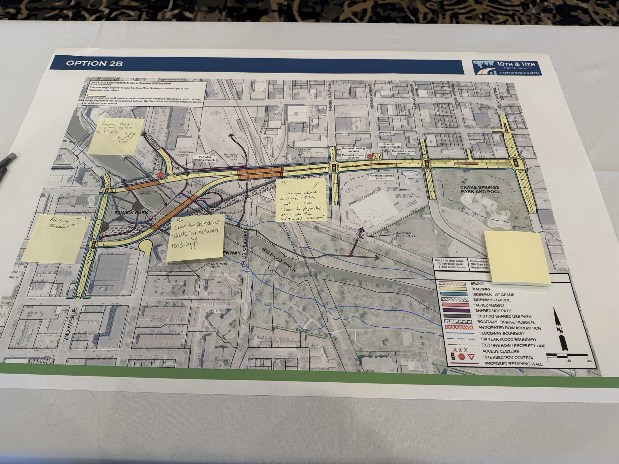
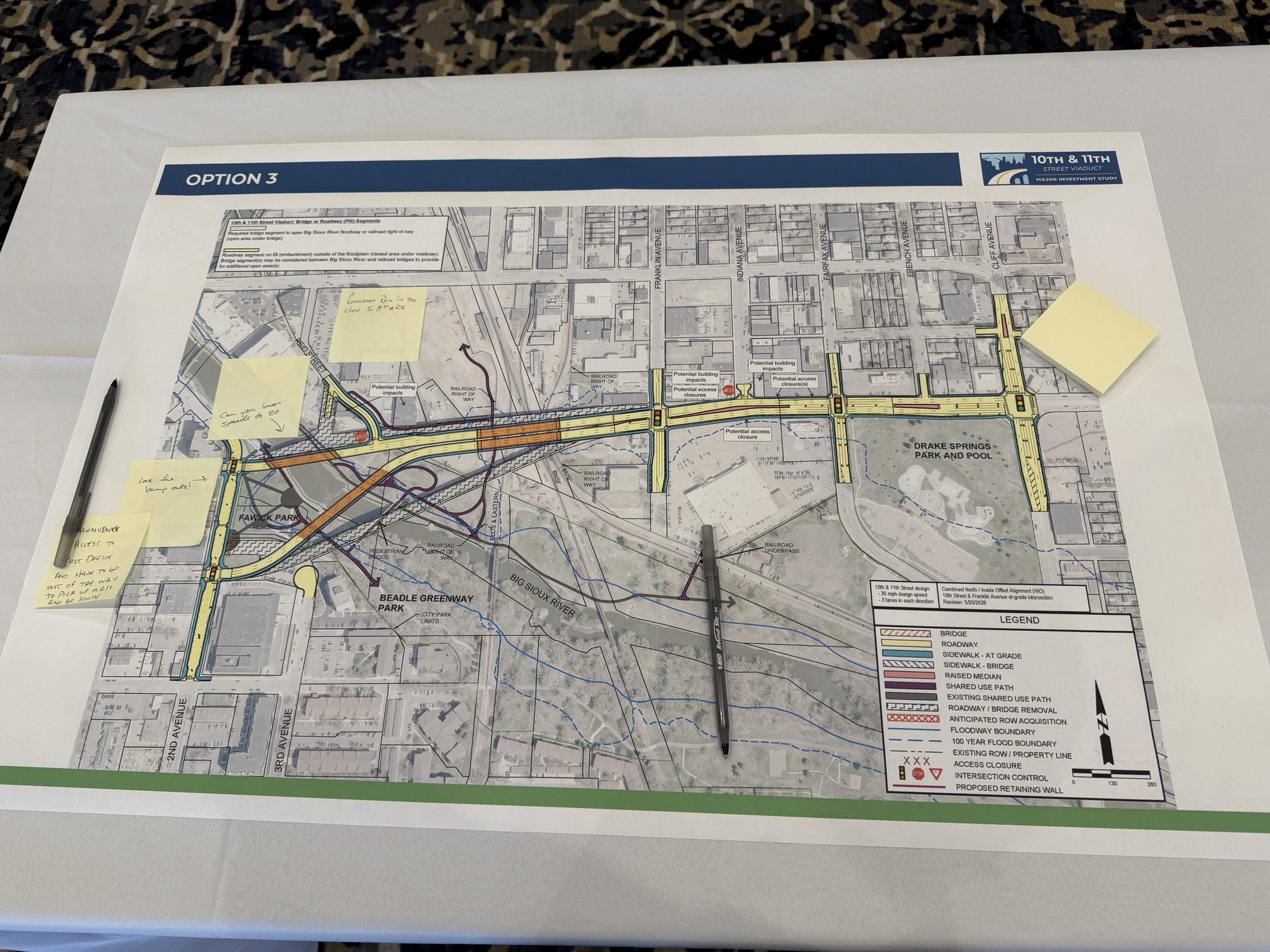
The input was simple: sticky notes on the option maps. Here's a sample of what people wrote.
Walking and biking:
- "Love the pedestrian walkway between roadways"
- "Need to consider lighting & security if tunnel is included"
- "Pedestrian wayfinding?"
- "Flashing beacons?"
- "Can you include archway, lighting, art & other ideas to physically communicate the environment is changing?"
Speed and safety:
- "Can you lower speeds to 20"
- "Love the bump outs!"
- Two notes worried that Reid Street would end up too close to 8th Street and the railroad tracks.
Getting around: one person noted that an option would make it harder to get to the post office and head south afterward.
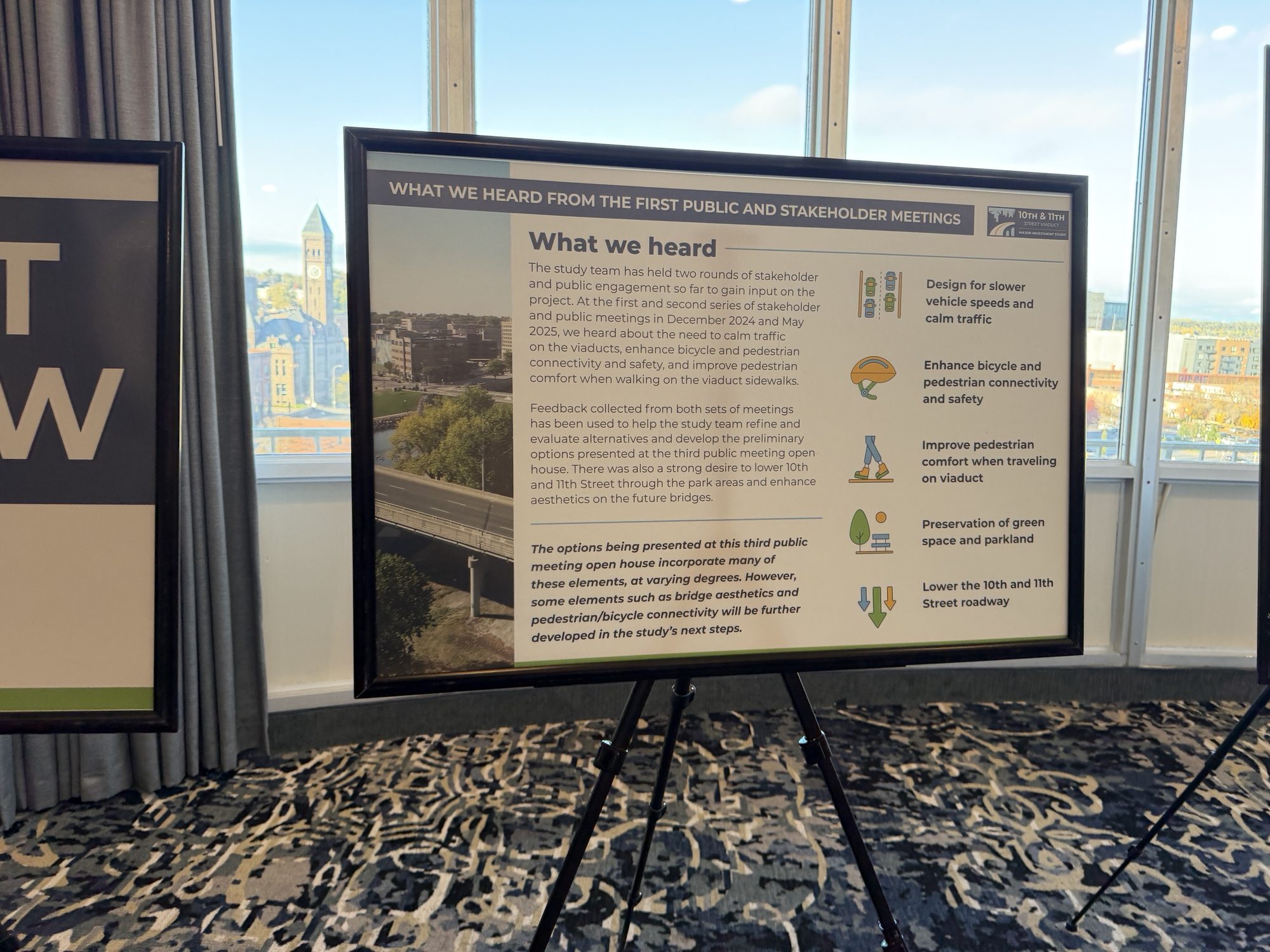
None of this is new. One board summed up what the team heard at the first two rounds in December 2024 and May 2025: slow traffic down, make walking and biking safer and more comfortable, keep the green space, and lower the bridges. The board says the options include those ideas "at varying degrees," and that bridge looks and bike and pedestrian connections will be worked out next.
Two boards worth a closer look
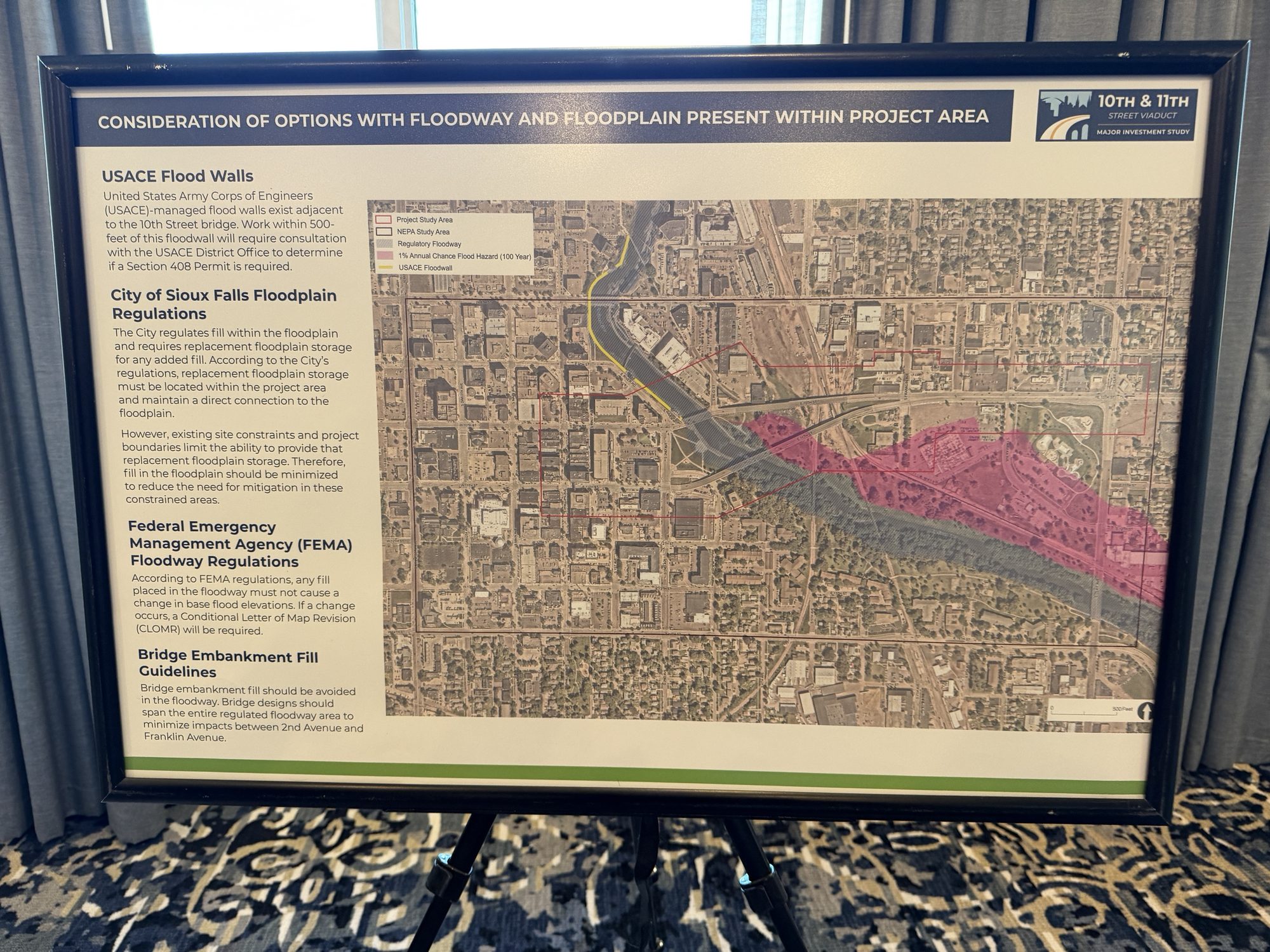
Flooding sets real limits. One board explained why the new bridges need to span the whole river floodway between 2nd Avenue and Franklin Avenue. The Army Corps of Engineers floodwall sits right next to 10th Street, and federal and City rules limit what can be built in the floodplain. In plain words: the river decides a lot about how these bridges can be built.
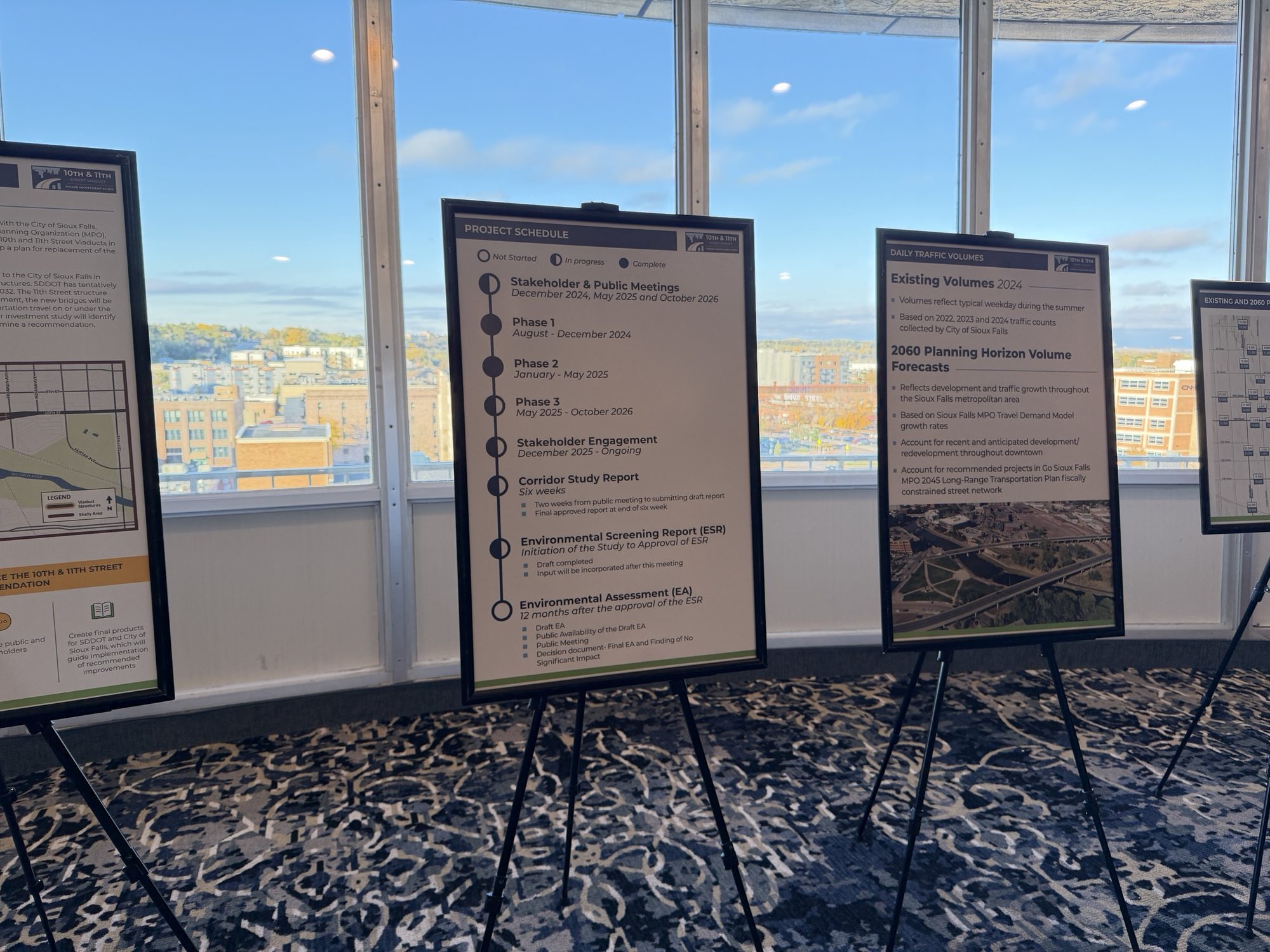
The timeline. The study is wrapping up its current phase. The schedule board showed a draft study report due about two weeks after the open house, with a final report about six weeks out. After that comes a full environmental review, about a year long, with its own public meeting. Construction is tentatively set for 2032 on 10th Street and 2036 on 11th.
What surprised me
The thing that stuck with me most happened before the doors opened. This open house was marketed well. I saw posters up at local businesses, and multiple news outlets promoted it ahead of time.
That matters. Public input is only as good as the number of people who know it's happening. More of this, please.
How to still weigh in
Comment by Tuesday, Nov. 10. Everything from the open house is on the study website, and you can comment there. You can also mail comments to HDR, Attn: 10th and 11th Streets Viaduct Study, 101 S. Phillips Ave., Suite 401, Sioux Falls, SD 57104.

New to the viaducts? Start with my explainer, The viaducts are getting replaced. Here's who's deciding, and how to weigh in. It walks through all four options in plain words.
Not sure what to say? Pick one question:
- Which option would you feel safest walking or biking across?
- How should the new bridges connect to the river trails and parks?
- What should getting around downtown look like during construction?
A sticky note takes 30 seconds. So does a comment online. The shape of these bridges is being set now, and they'll be with us for the rest of our lives.
It's always been our city, and now is our moment. Let's rise together.
Sources
- 10th and 11th Street Viaduct Major Investment Study, SDDOT, including Open House #3 boards and video
- SDDOT seeks public input for 10th and 11th Street viaducts replacement study, SDDOT, Oct. 13, 2026
- My own visit to the Oct. 27 open house
Photos by Vince Danh.

Have a tip or a story idea? Email issues@risingtogethersf.com.